web analytics

Category: Uncategorized

  • Texas Coast

    Texas Coast

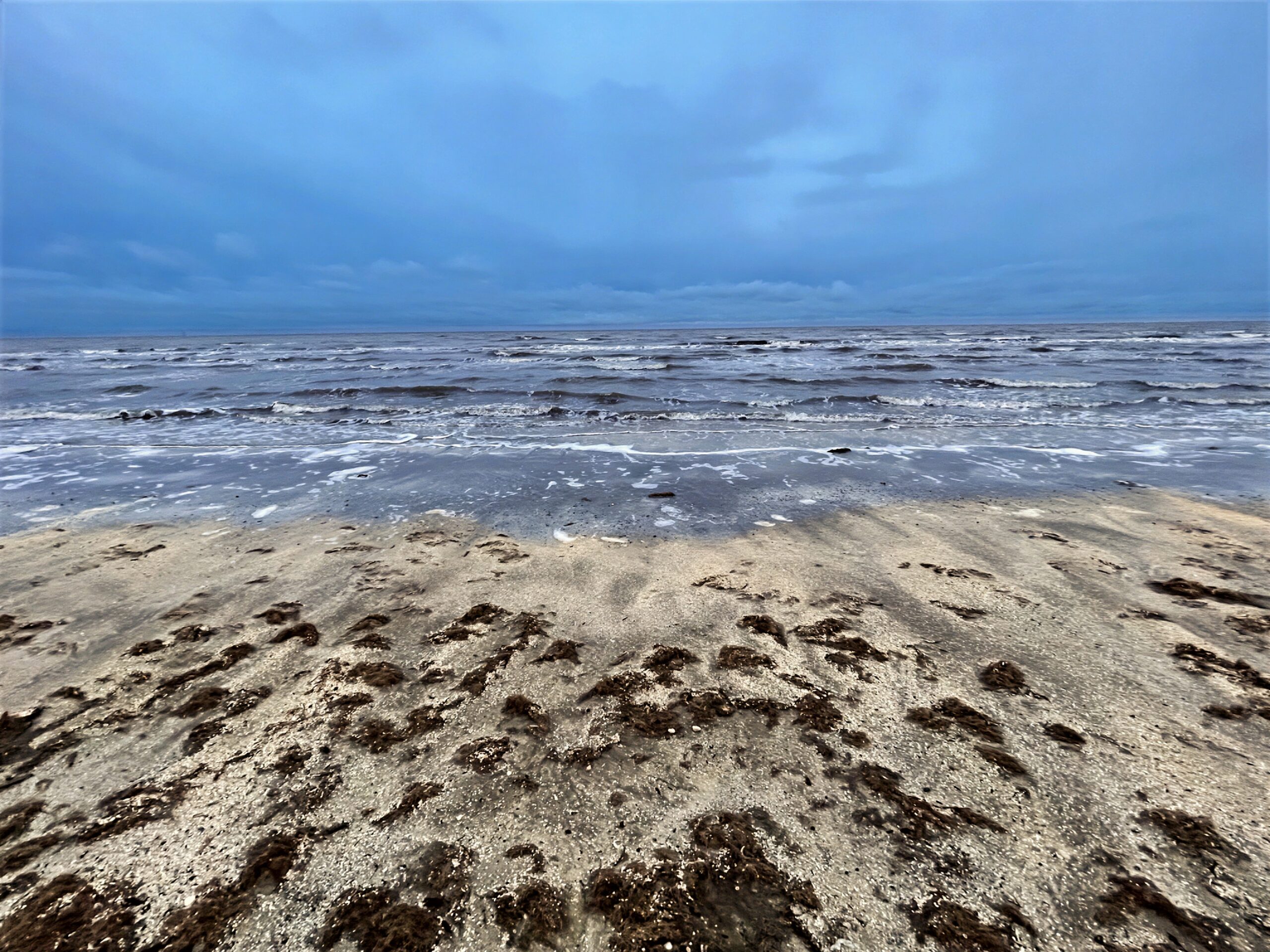
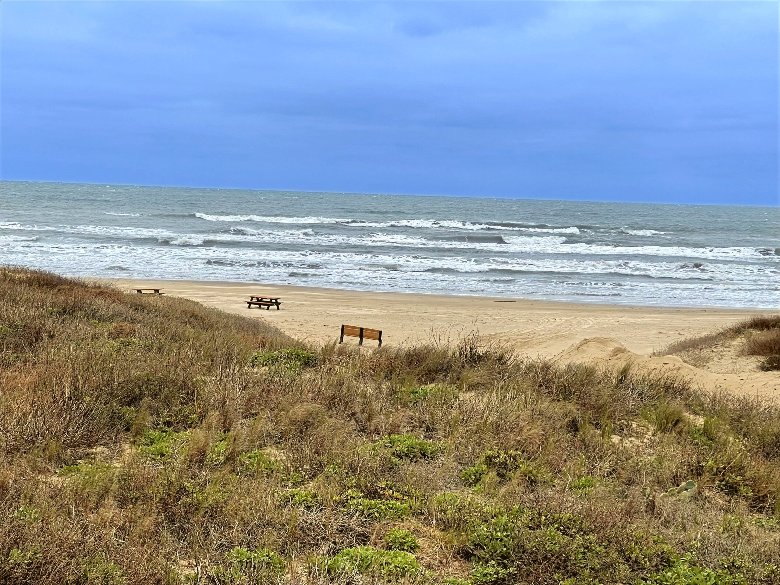
    Beginning at High Island Beach, this drive follows Texas highways 124 and 87 through Crystal Beach and Galveston before turning toward the quieter coastal landscapes of Brazoria County and Matagorda. The journey continues through Port Aransas and Padre Island National Seashore, with long stretches of beach, dunes, and coastal wetlands along the route. Farther south, the road eventually reaches South Padre Island and the southern end of the Texas Gulf Coast.

    The scenery changes gradually over hundreds of miles, from developed beachfront roads to broad, undeveloped coastal landscapes. With the Gulf beside the road for much of the journey, this is a relaxed look at the remarkable variety of Texas’s coastline.

    Captured in February 2024.


    Texas Coast (4:22:39)

    Original music for this video:

    Loading map…
    Distance
    524.22 mi
    Elevation gain
    +5,007 ft
    Elevation loss
    −5,006 ft
    Max elevation
    102 ft
    Elevation profile


    Photos (14:37)

    YouTube playlists:

    Original ambient music available for streaming at:

  • Chenier Plain

    Chenier Plain

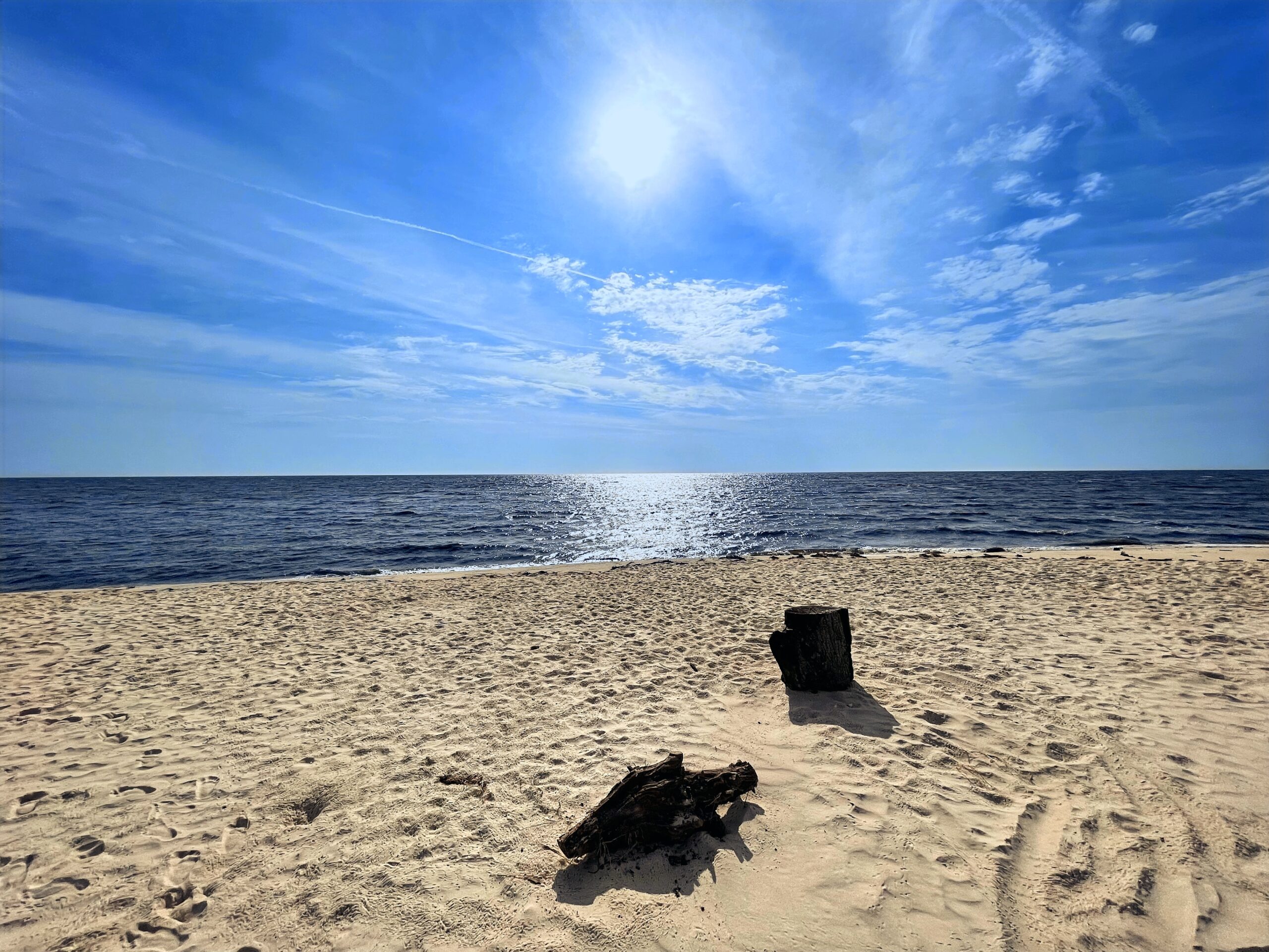
    The drive begins at Rutherford Beach on the Gulf Coast and heads west on LA 82 through Louisiana’s Chenier Plain, a broad coastal landscape of marshes, wetlands, and low wooded ridges. Passing through Cameron and by Little Florida Beach, the route continues toward Port Arthur, where the scenery transitions into the coastal wetlands of Southeast Texas. From there, Texas Highway 87 carries the journey south toward Sea Rim State Park and the remote surroundings of Sabine Pass.

    Along this stretch of the Gulf Coast, the road moves through a landscape shaped by water, wind, and centuries of coastal change, with beaches, tidal wetlands, waterways, and open grasslands extending toward the horizon. Long stretches of quiet highway create a strong sense of distance and solitude as the journey approaches the Texas-Louisiana border and the waters surrounding Sabine Pass.

    Captured in February 2024.


    Chenier Plain (2:14:25)

    Original music for this video:

    Loading map…
    Distance
    109.90 mi
    Elevation gain
    +1,170 ft
    Elevation loss
    −1,108 ft
    Max elevation
    180 ft
    Elevation profile


    Photos (8:16)

    YouTube playlists:

    Original ambient music available for streaming at:

  • Oregon Coast

    Oregon Coast

    This drive begins in Astoria and follows US 101 down the Oregon coast, where dense evergreen forests meet rocky cliffs, open beaches, and the Pacific Ocean. The road winds through small communities and along stretches of shoreline that alternate between broad ocean views and quiet forested sections. Around Tillamook, the route takes SR 131 inland for a peaceful detour through wooded hills and rural valleys before reconnecting with US 101 farther south.

    The journey continues along the coast toward Reedsport, passing dunes, beaches, forests, and rugged coastal scenery along the way. From Reedsport, SR 38 follows the Umpqua River inland before joining SR 138 and gradually climbing into the forested landscape of the Oregon Coast Range. The drive ends at I-5 after traveling from the Pacific Ocean through river valleys and deep mountain forests.

    Captured in August 2025.


    Oregon Coast (2:53:34)

    Original music for this video:

    Loading map…
    Distance
    279.28 mi
    Elevation gain
    +13,795 ft
    Elevation loss
    −13,253 ft
    Max elevation
    840 ft
    Elevation profile


    Photos (8:18)


    Rear-Facing (2:22:18)

    YouTube playlists:

    Original ambient music available for streaming at:

  • Florida’s Forgotten Coast

    Florida’s Forgotten Coast

    Starting at Bald Point State Park, this drive heads west along US 98 through the landscapes of Florida’s Forgotten Coast. Coastal marshes and open water accompany the road toward St. George Island, where the route passes through the island’s quiet coastal landscape before returning to the mainland. From there, the journey continues into Tate’s Hell and the forests beyond.

    As the road follows the outside of Apalachicola National Forest, the scenery becomes increasingly wooded and remote. Pine forests, wetlands, and long stretches of quiet highway replace the open Gulf views, but the sense of solitude remains. It is a slow transition from coast to forest, capturing a less-developed side of Florida that is easy to miss.

    Captured in April 2024 on the outer edges of the Apalachicola National Forest.


    Florida’s Forgotten Coast (2:31:53)

    Original music for this video:

    Loading map…
    Distance
    228.86 mi
    Elevation gain
    +0 ft
    Elevation loss
    −0 ft
    Max elevation
    0 ft


    Photos (20:06)

    YouTube playlists:

    Original ambient music available for streaming at:

  • Southwest Washington

    Southwest Washington

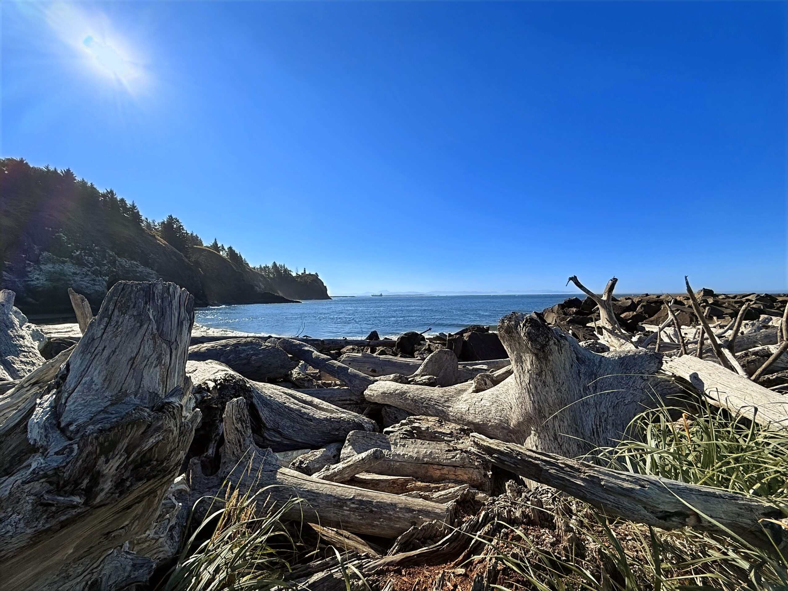
    Beginning at Kurt Cobain’s childhood home near the Wishkah River in Aberdeen, the drive continues along SR 105 following the quieter side of Southwest Washington’s coast, winding past tidal bays, salt marshes, cranberry fields, and long stretches of open shoreline. The road moves between forest and water as it makes its way toward the Pacific, passing through small coastal communities and landscapes that remain largely untouched by development. With the ocean occasionally appearing beyond the roadside and broad skies stretching overhead, the journey settles into an easy rhythm where the scenery changes gradually from one mile to the next.

    From the coast, US 101 turns south toward Willapa Bay and continues through the forests and open spaces of the Long Beach Peninsula before reaching Cape Disappointment. The road then follows the Columbia River toward the Oregon border, with expansive views of the river, distant hills, and the surrounding estuary accompanying the drive. As the journey draws to a close near the Astoria–Megler Bridge, the landscape opens once again to water and sky, bringing this quiet coastal drive through Southwest Washington to its end.

    Captured in August 2025. Primary roads are Washington SR 105 and US 101.


    Southwest Washington (2:43:31)

    Original music for this video:

    Loading map…
    Distance
    122.03 mi
    Elevation gain
    +3,421 ft
    Elevation loss
    −3,429 ft
    Max elevation
    215 ft
    Elevation profile


    Photos (5:26)


    Rear-Facing (2:21:26)

    YouTube playlists:

    Original ambient music available for streaming at: