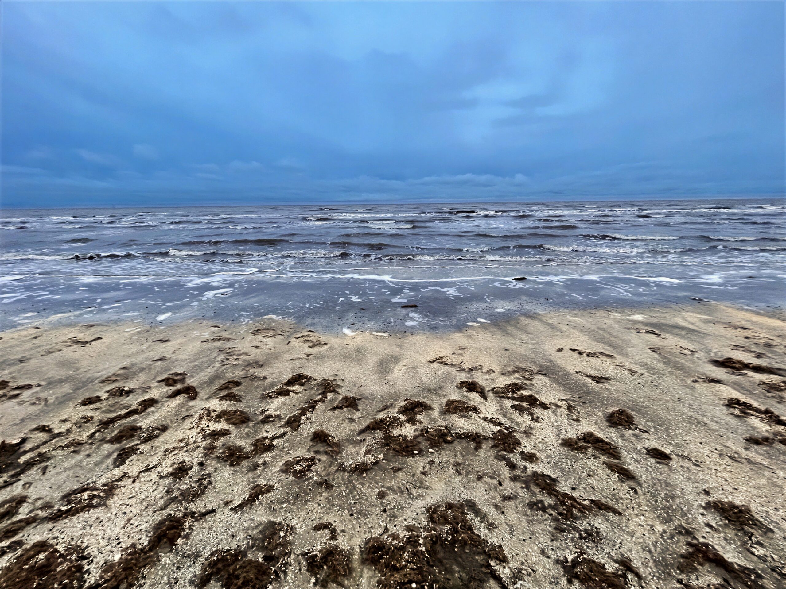
The drive begins at Rutherford Beach on the Gulf Coast and heads west on LA 82 through Louisiana’s Chenier Plain, a broad coastal landscape of marshes, wetlands, and low wooded ridges. Passing through Cameron and by Little Florida Beach, the route continues toward Port Arthur, where the scenery transitions into the coastal wetlands of Southeast Texas. From there, Texas Highway 87 carries the journey south toward Sea Rim State Park and the remote surroundings of Sabine Pass.
Along this stretch of the Gulf Coast, the road moves through a landscape shaped by water, wind, and centuries of coastal change, with beaches, tidal wetlands, waterways, and open grasslands extending toward the horizon. Long stretches of quiet highway create a strong sense of distance and solitude as the journey approaches the Texas-Louisiana border and the waters surrounding Sabine Pass.
Captured in February 2024.
Original music for this video:
- Distance
- 109.90 mi
- Elevation gain
- +1,170 ft
- Elevation loss
- −1,108 ft
- Max elevation
- 180 ft
YouTube playlists:
Original ambient music available for streaming at:
- ♫ SoundCloud
- ♫ Apple Music
- ♫ Spotify
- ♫ YouTube Music
- ♫ Amazon Music
- ♫ Tidal
- ♫ iHeart
- ♫ bandcamp
- ♫ and other major platforms