web analytics

Category: Uncategorized

  • Southwest Washington

    Southwest Washington

    Beginning at Kurt Cobain’s childhood home near the Wishkah River in Aberdeen, the drive continues along SR 105 following the quieter side of Southwest Washington’s coast, winding past tidal bays, salt marshes, cranberry fields, and long stretches of open shoreline. The road moves between forest and water as it makes its way toward the Pacific, passing through small coastal communities and landscapes that remain largely untouched by development. With the ocean occasionally appearing beyond the roadside and broad skies stretching overhead, the journey settles into an easy rhythm where the scenery changes gradually from one mile to the next.

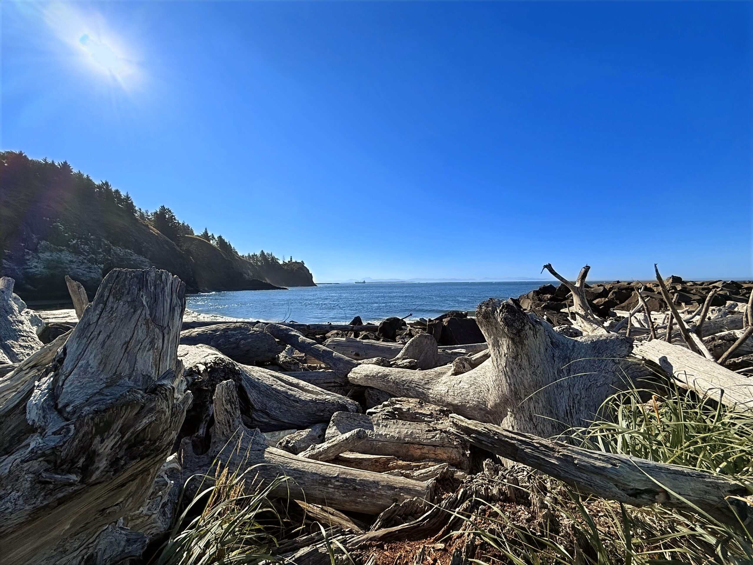
    From the coast, US 101 turns south toward Willapa Bay and continues through the forests and open spaces of the Long Beach Peninsula before reaching Cape Disappointment. The road then follows the Columbia River toward the Oregon border, with expansive views of the river, distant hills, and the surrounding estuary accompanying the drive. As the journey draws to a close near the Astoria–Megler Bridge, the landscape opens once again to water and sky, bringing this quiet coastal drive through Southwest Washington to its end.

    Captured in August 2025. Primary roads are Washington SR 105 and US 101.


    Southwest Washington (2:43:31)

    Original music for this video:

    Loading map…
    Distance
    122.03 mi
    Elevation gain
    +3,421 ft
    Elevation loss
    −3,429 ft
    Max elevation
    215 ft
    Elevation profile


    Photos (5:26)


    Rear-Facing (2:21:26)

    YouTube playlists:

    Original ambient music available for streaming at:

  • Osceola National Forest

    Osceola National Forest

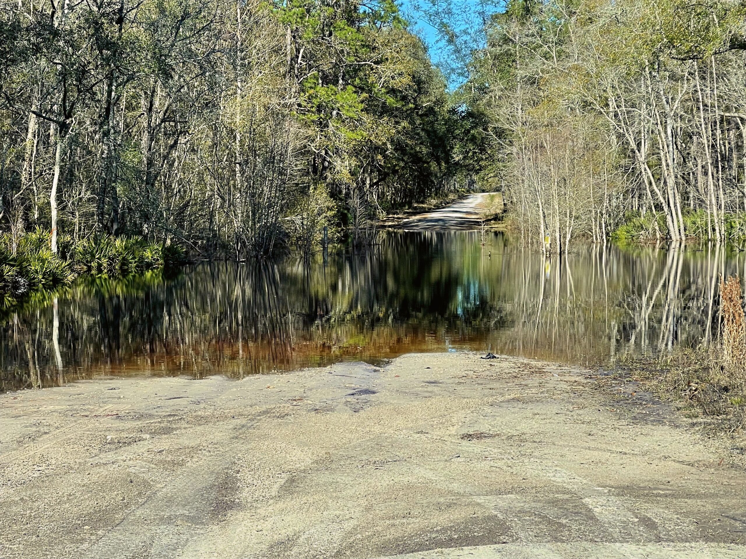
    Leaving the quiet countryside outside Live Oak in January, the drive eases southward through North Florida’s winter landscape. Long stretches of road pass beneath towering pines and hardwoods, their muted seasonal colors creating a calm backdrop for the journey. Cool, crisp air and open rural scenery make each mile feel unhurried, with occasional glimpses of wildlife along the forest edge. As the road approaches Osceola National Forest, the surroundings become increasingly defined by dense woodland and the gentle rhythm of the drive.

    Deeper into the forest, the route winds through expansive stands of pine flatwoods, where sunlight filters softly through the trees and reflects across seasonal wetlands. The road carries travelers through some of Florida’s most peaceful natural scenery, offering a relaxing contrast to the state’s busier highways. Nearing Ocean Pond, the forest gradually opens to reveal broad views of the water framed by towering pines. The drive concludes beside the tranquil shoreline, where the still lake and surrounding forest create a quiet and scenic destination.

    Captured in January 2024 starting outside Live Oak, wandering through random paths, and ending around Olustee.


    Osceola National Forest (1:28:15)

    Original music for this video:

    Loading map…
    Distance
    56.59 mi
    Elevation gain
    +2,428 ft
    Elevation loss
    −2,354 ft
    Max elevation
    324 ft
    Elevation profile


    Photos (5:17)

    YouTube playlists:

    Original ambient music available for streaming at:

  • Joshua Tree

    Joshua Tree

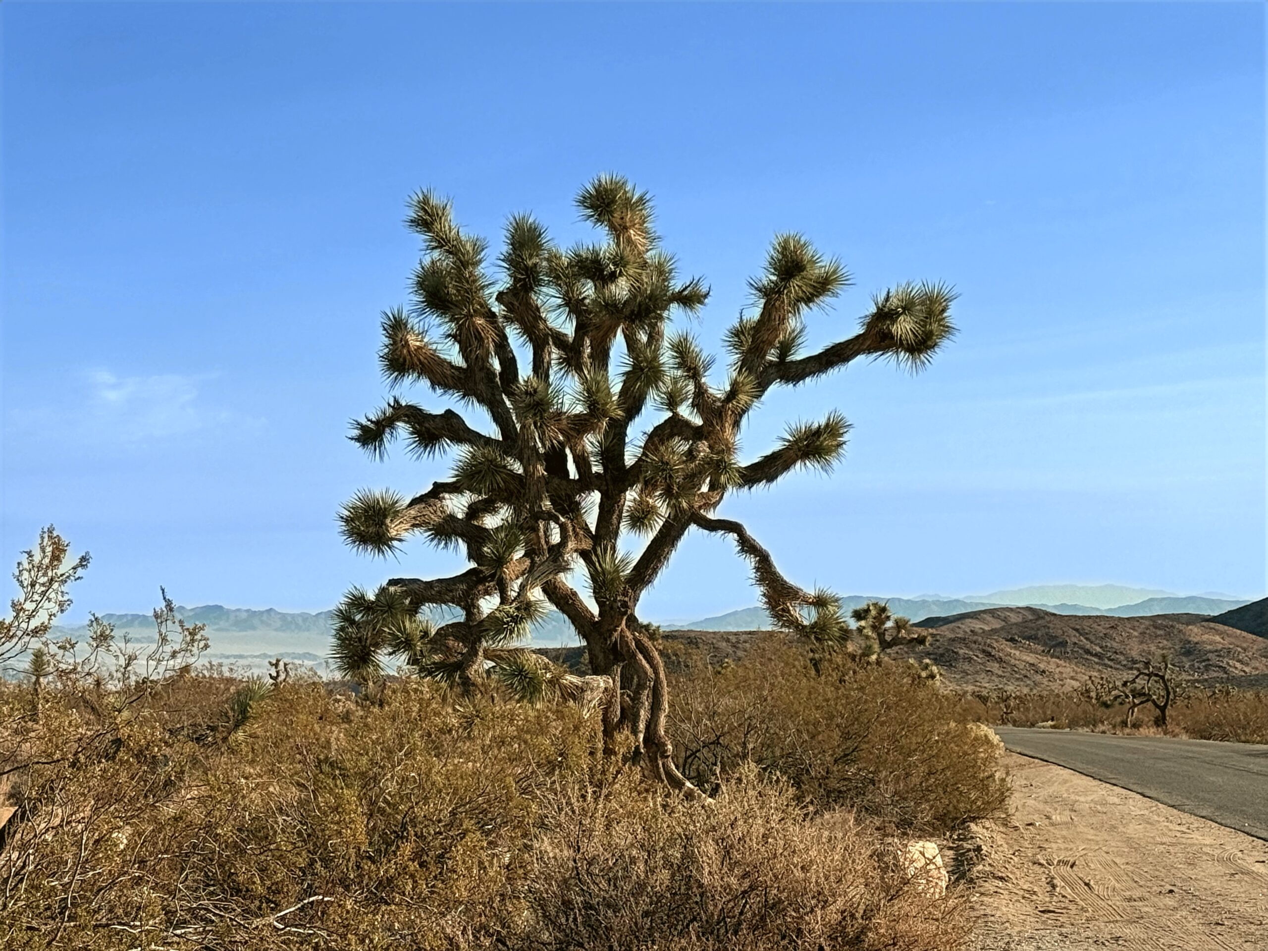
    The desert unfolds in layers of stone, sand, and twisted trees while driving north from Interstate 10 through Joshua Tree National Park toward the town of Joshua Tree in the summer. The road climbs gradually from the lower Colorado Desert into higher elevations where the park’s iconic Joshua trees begin appearing across the landscape like scattered sculptures beneath the blazing sun. Massive boulder piles rise beside the highway, their rounded forms glowing in shades of gold and rust under the intense desert light. Heat waves shimmer across the pavement, while hardy desert plants—ocotillo, cholla cactus, and creosote—dot the dry valleys between rocky ridges.

    As the route winds farther north, the terrain becomes more dramatic and textured, with broad desert vistas opening toward distant mountain ranges and deep blue skies stretching endlessly overhead. Pullouts along the road reveal sweeping panoramas of the Mojave Desert, where silence and open space dominate the landscape. By the time the drive descends toward the town of Joshua Tree, the combination of surreal rock formations, twisting desert flora, and immense summer skies creates a journey that feels both otherworldly and deeply peaceful.

    Captured in August 2025 starting from I-10 and traveling north to the city of Joshua Tree.

    Joshua Tree (1:38:02)

    Original music for this video:

    Loading map…
    Distance
    82.43 mi
    Elevation gain
    +7,061 ft
    Elevation loss
    −4,003 ft
    Max elevation
    4,529 ft
    Elevation profile

    Photos (9:37)

    Rear-Facing (1:24:49)

    YouTube playlists:

    Original ambient music available for streaming at:

  • Swan Valley

    Swan Valley

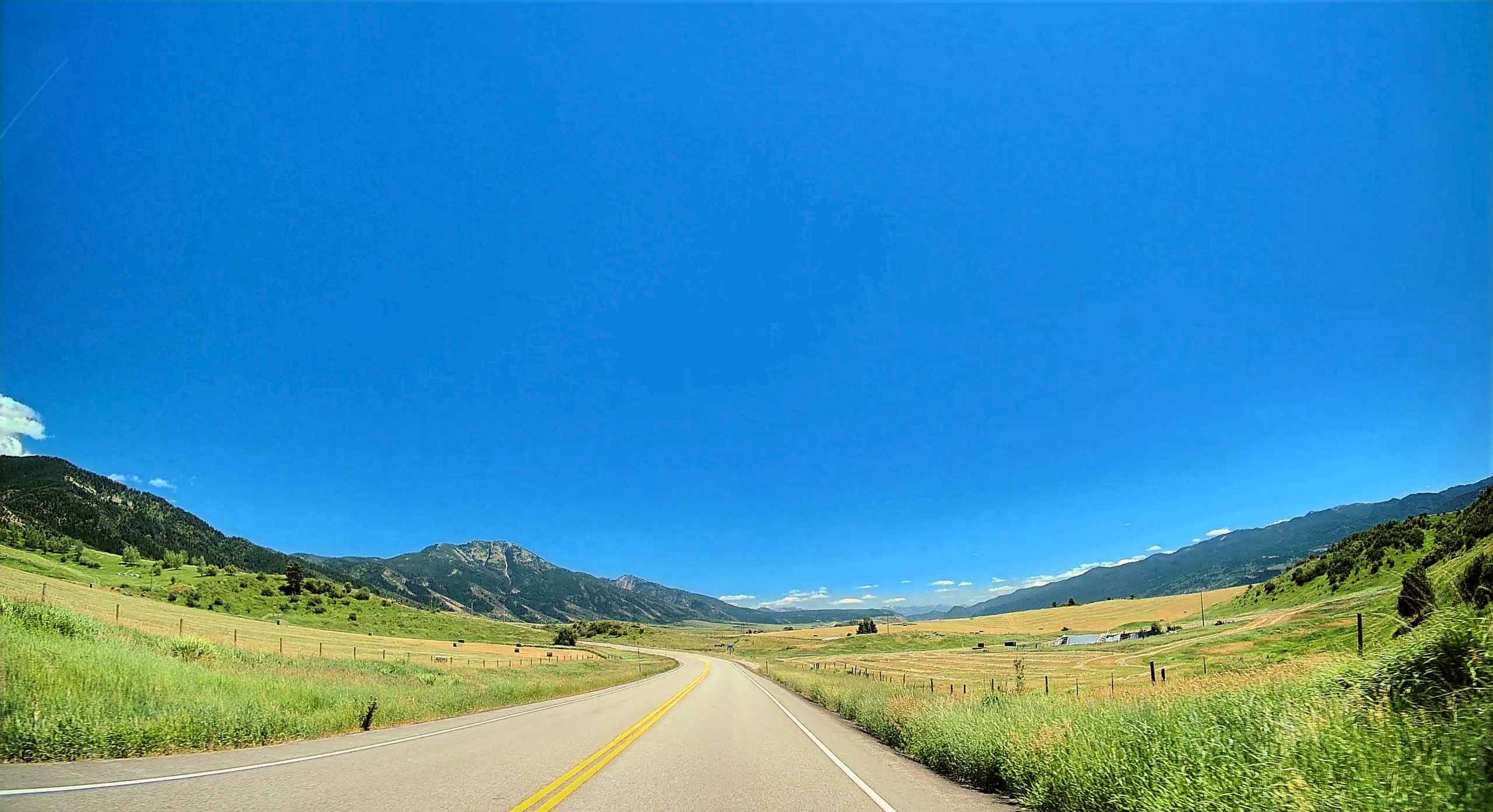
    The highway out of Jackson drops into Swan Valley as if spilling from the mountains into a sun-drenched corridor of grasslands and streams, where the Snake River winds lazily toward Idaho Falls. Summer light bathes the valley in gold and green, highlighting wildflower patches along the roadside and the shimmering surfaces of irrigation canals feeding nearby hayfields. Elk and deer occasionally cross the road or graze in the open meadows, while birds circle overhead, their calls echoing faintly against distant ridges.

    The valley itself feels expansive yet protected, with foothills and pine-covered slopes rising gently on both sides, and glimpses of higher peaks still visible far in the east. Pullouts along the highway reveal reflections of the mountains in calm river pools and provide moments of pause to appreciate the vastness of the summer landscape. As the drive approaches Idaho Falls, the combination of flowing river, rolling meadows, and distant mountains leaves a lingering sense of serenity and connection to Idaho’s quiet, open beauty.

    Captured in July 2024. The beginning of the journey is on Wyoming Highway 22, also known as the Teton Pass Highway, and continuing onto Idaho SH-33. At Victor, the route turns to SH-31 to Swan Valley, and concludes on US 26, “Swan Valley Highway”.


    Swan Valley (46:45)

    Original music for this video:

    Loading map…
    Distance
    81.36 mi
    Elevation gain
    +0 ft
    Elevation loss
    −0 ft
    Max elevation
    0 ft


    Rear-Facing (59:48)

    YouTube playlists:

    Original ambient music available for streaming at:

  • Castle Creek

    Castle Creek

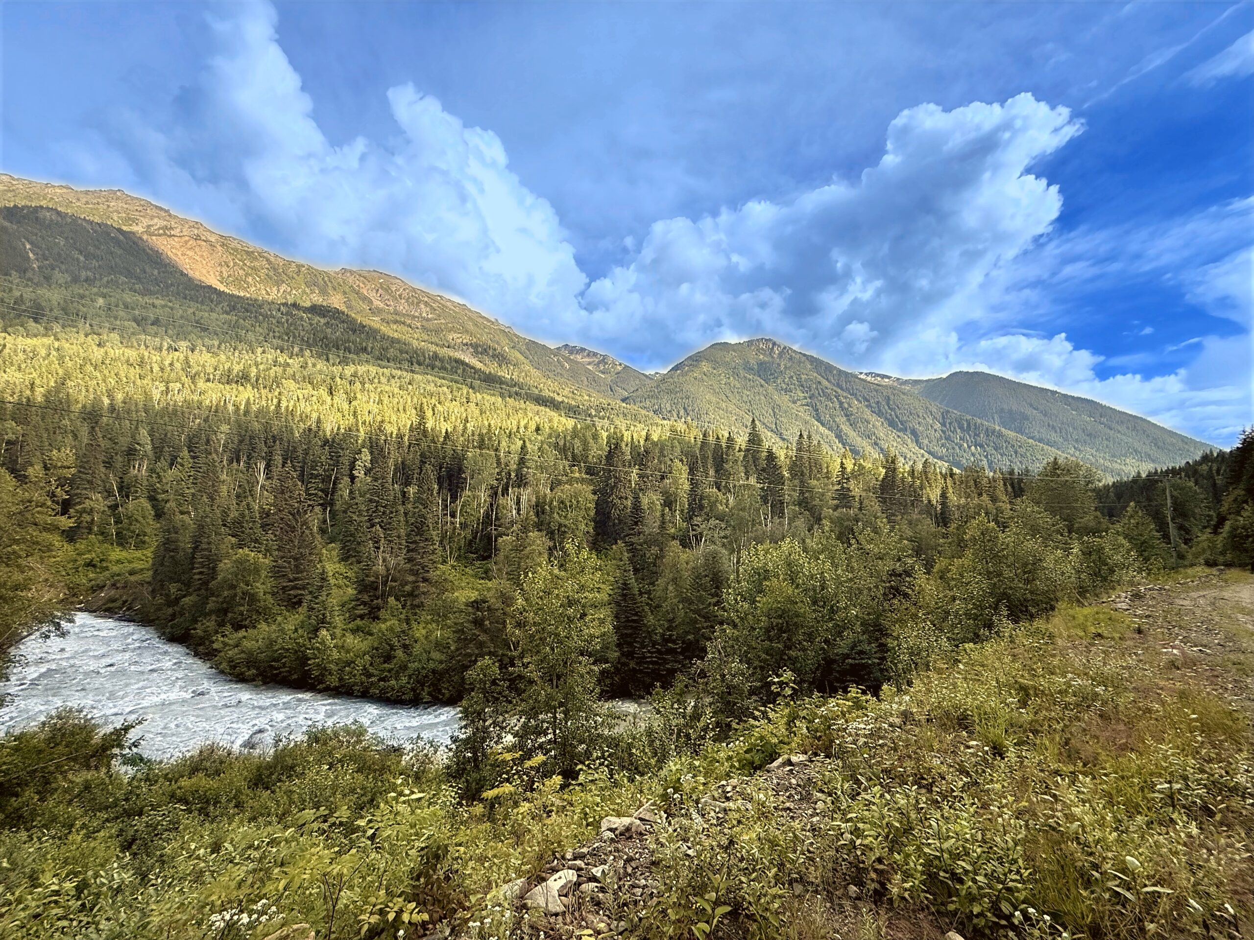
    Driving Castle Creek Road in summer is like tracing a secret path through a landscape sculpted by water and time, where the dense forests and rugged ridges of British Columbia frame every mile. Near McBride, the road hugs the creek closely, revealing crystal-clear water cascading over rocks and forming miniature rapids that sparkle in the sunlight. Towering evergreens cast long shadows across the pavement, while bright patches of wildflowers punctuate the forest floor with splashes of color. Occasional wildlife sightings—elk grazing in a meadow, a raven gliding overhead, or a fox darting into the trees—remind travelers that this wilderness is very much alive.

    As the roadway meanders toward Eddy, the forest opens onto gentle valleys and rolling hills, with distant mountain peaks rising in layered blues and grays under summer skies. Long daylight hours make it easy to pause at small scenic pullouts, admire reflections in calm pools, or listen to the creek’s constant song. By the time the drive concludes, Castle Creek Road leaves travelers with a lasting sense of serenity, scale, and the quiet grandeur of British Columbia’s interior.

    Captured in July 2025 outside of McBride and Eddy in Canada’s British Columbia.


    Castle Creek (59:18)

    Original music for this video:

    Loading map…
    Distance
    12.07 mi
    Elevation gain
    +679 ft
    Elevation loss
    −977 ft
    Max elevation
    2,827 ft
    Elevation profile


    Rear-Facing (58:55)

    YouTube playlists:

    Original ambient music available for streaming at: