web analytics

Category: Uncategorized

  • Top of the World Highway

    Top of the World Highway

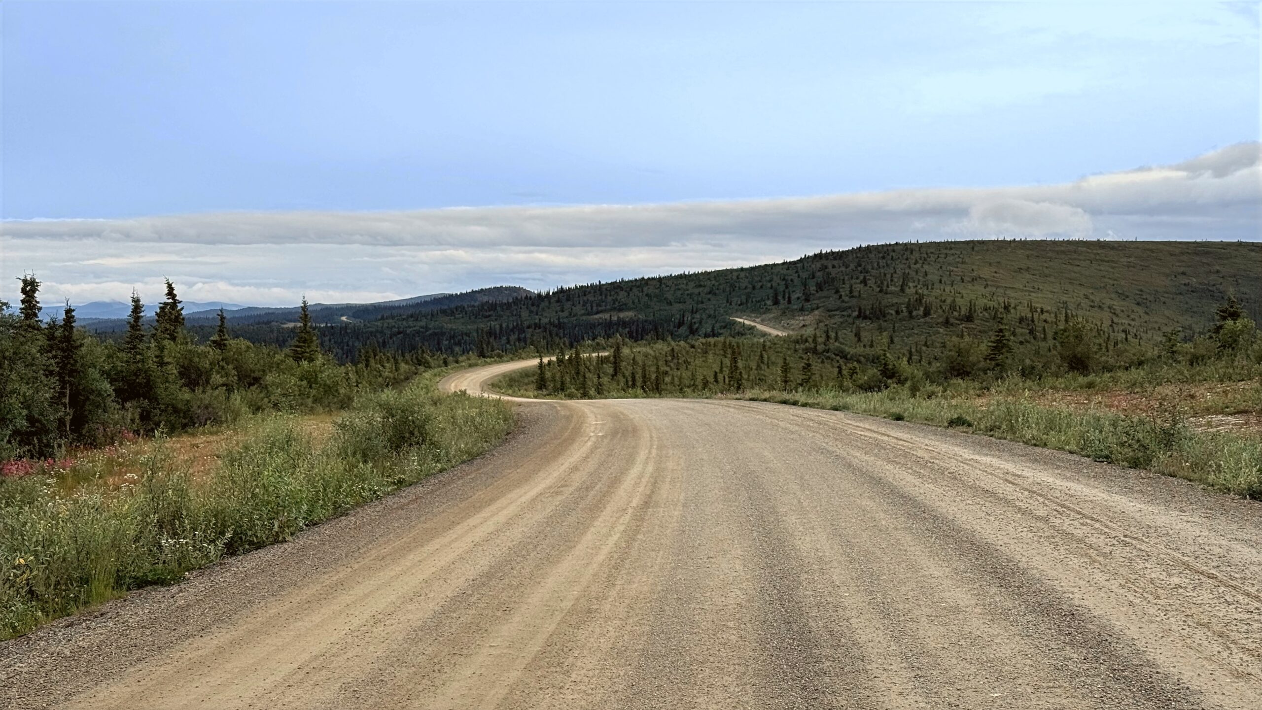
    The journey begins with the creak and sway of the Dawson City ferry as it carries you across the broad, silty Yukon River, leaving behind the last hints of town and easing into true wilderness. From there, the Top of the World Highway climbs steadily onto a spine of ridges where the land seems to stretch forever, rolling in soft waves of tundra and distant peaks under an immense sky. The road feels suspended between worlds—no guardrails, few signs of life, just wind, light, and an overwhelming sense of space.

    Crossing into Alaska, the solitude deepens as the route becomes the Taylor Highway, descending through rugged valleys and quiet forests where you might drive for long stretches without seeing another soul. By the time you meet the Alaska Highway, the experience lingers: a rare blend of breathtaking beauty and profound isolation that makes the rest of the world feel very far away.

    Captured in July 2025 starting at the Dawson City ferry, continuing on Yukon Highway 9 to the Alaska/Canada border, and continuing down the Taylor Highway (Alaska Route 5) and ending at the Alaska Highway (Alaska Route 2).


    Top of the World Highway (4:36:16)

    Original music for this video:

    Loading map…
    Distance
    172.90 mi
    Elevation gain
    +16,100 ft
    Elevation loss
    −15,426 ft
    Max elevation
    4,370 ft
    Elevation profile


    Photos (13:26)


    Rear-Facing (4:38:15)

    YouTube playlists:

    Original ambient music available for streaming at:

  • Mount St. Helens

    Mount St. Helens

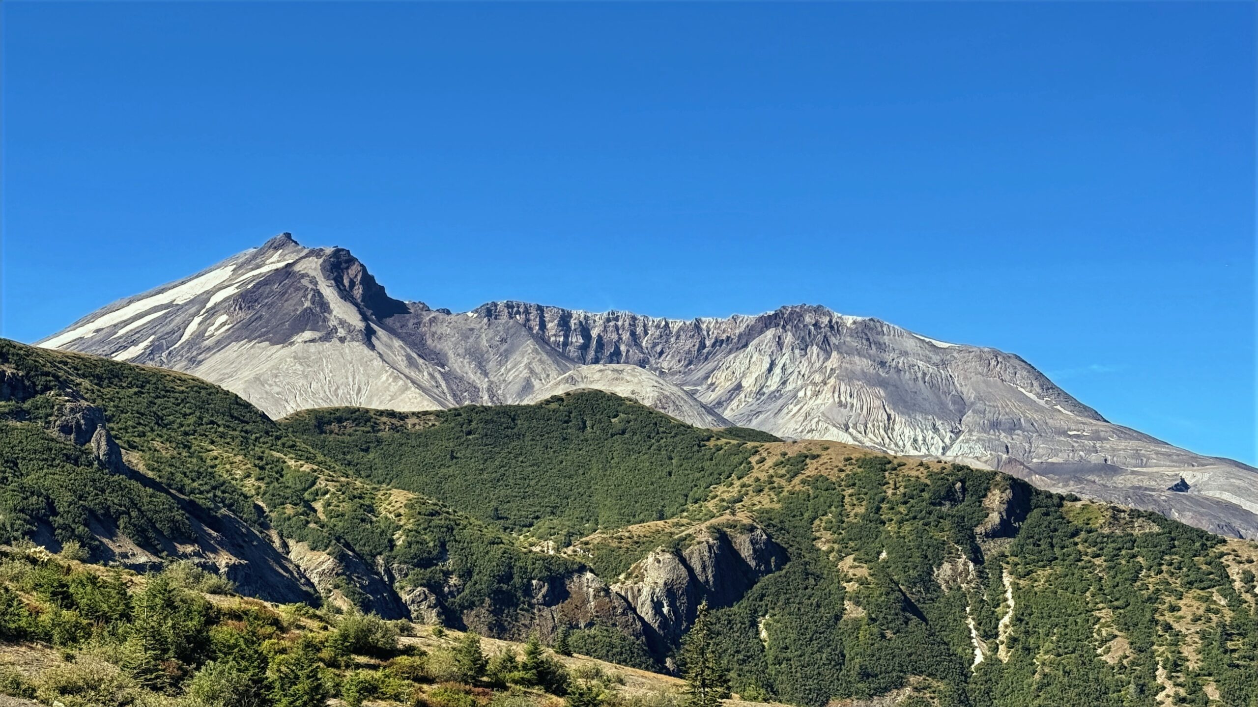
    The drive along the lesser-traveled roads to the Windy Ridge viewpoint on the back side of Mount St. Helens feels like a journey into a hidden world. Narrow, winding paths weave through dense stands of fir and cedar, punctuated by occasional clearings that reveal distant ridges dusted with wildflowers. The road climbs steadily, offering fleeting glimpses of the crater’s jagged edge through the trees, while the air carries a crisp, pine-scented breeze.

    Occasionally, the hum of the engine is the only sound breaking the serene quiet, emphasizing the remoteness of this route. When the viewpoint finally emerges, the panoramic view of the blasted landscape, forests slowly reclaiming the slopes, and the glacial remnants of the mountain’s eruption leave a breathtaking impression that feels both raw and intimate, far removed from the more crowded tourist paths.

    Captured in August 2025 along the lesser-traveled route to the Windy Ridge viewpoint of Mount St. Helens through forest roads in Gifford Pinchot National Forest.


    Mount St. Helens (2:54:20)

    Original music for this video:

    Loading map…
    Distance
    88.71 mi
    Elevation gain
    +8,683 ft
    Elevation loss
    −8,730 ft
    Max elevation
    4,351 ft
    Elevation profile


    Photos (9:59)


    Rear-Facing (2:53:40)

    YouTube playlists:

    Original ambient music available for streaming at:

  • Icefields Parkway

    Icefields Parkway

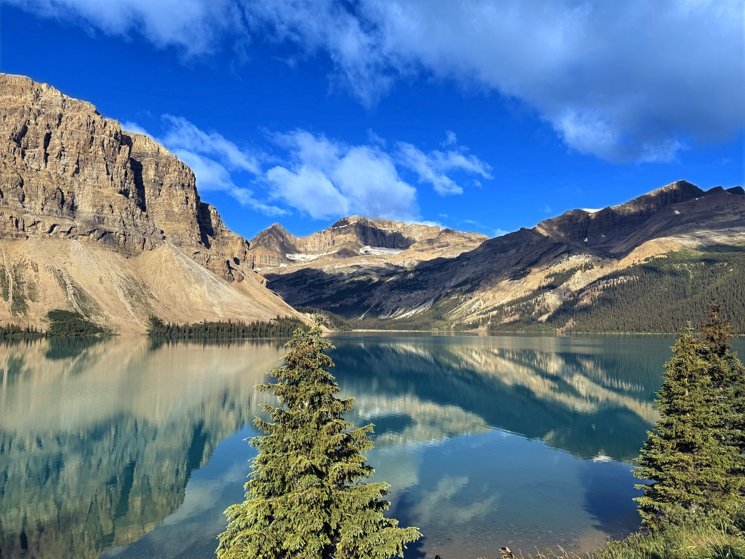
    The Icefields Parkway is often described as one of the most breathtaking drives in the world, a winding ribbon of road stretching through the heart of the Canadian Rockies. Featuring jagged mountain peaks, ancient glaciers, and sweeping valleys unfolding around every turn. The landscape feels almost unreal — turquoise lakes shimmer beneath towering cliffs, fed by glacial meltwater so pure it glows, while waterfalls cascade down rock faces into crystal-clear rivers.

    Yet the beauty carries a deeper poignancy after the 2024 Jasper wildfires. Even as vast landscapes were scarred and access temporarily limited, the parkway remains a symbol of resilience — its vast wilderness still largely intact, its vistas still awe-inspiring. Driving it northward toward Jasper, you witness both devastation and renewal: blackened trees standing beside vibrant new growth, a reminder that even in the aftermath of destruction, the landscape remains profoundly majestic.

    Captured in July 2025 along Canada Highway 93 and 93A, also known as the “Icefields Parkway”.


    Icefields Parkway (3:07:45)

    Original music for this video:

    Loading map…
    Distance
    147.81 mi
    Elevation gain
    +7,772 ft
    Elevation loss
    −9,424 ft
    Max elevation
    7,028 ft
    Elevation profile


    Photos (27:40)


    Rear-Facing (2:08:15)

    YouTube playlists:

    Original ambient music available for streaming at:

  • Beartooth Highway

    Beartooth Highway

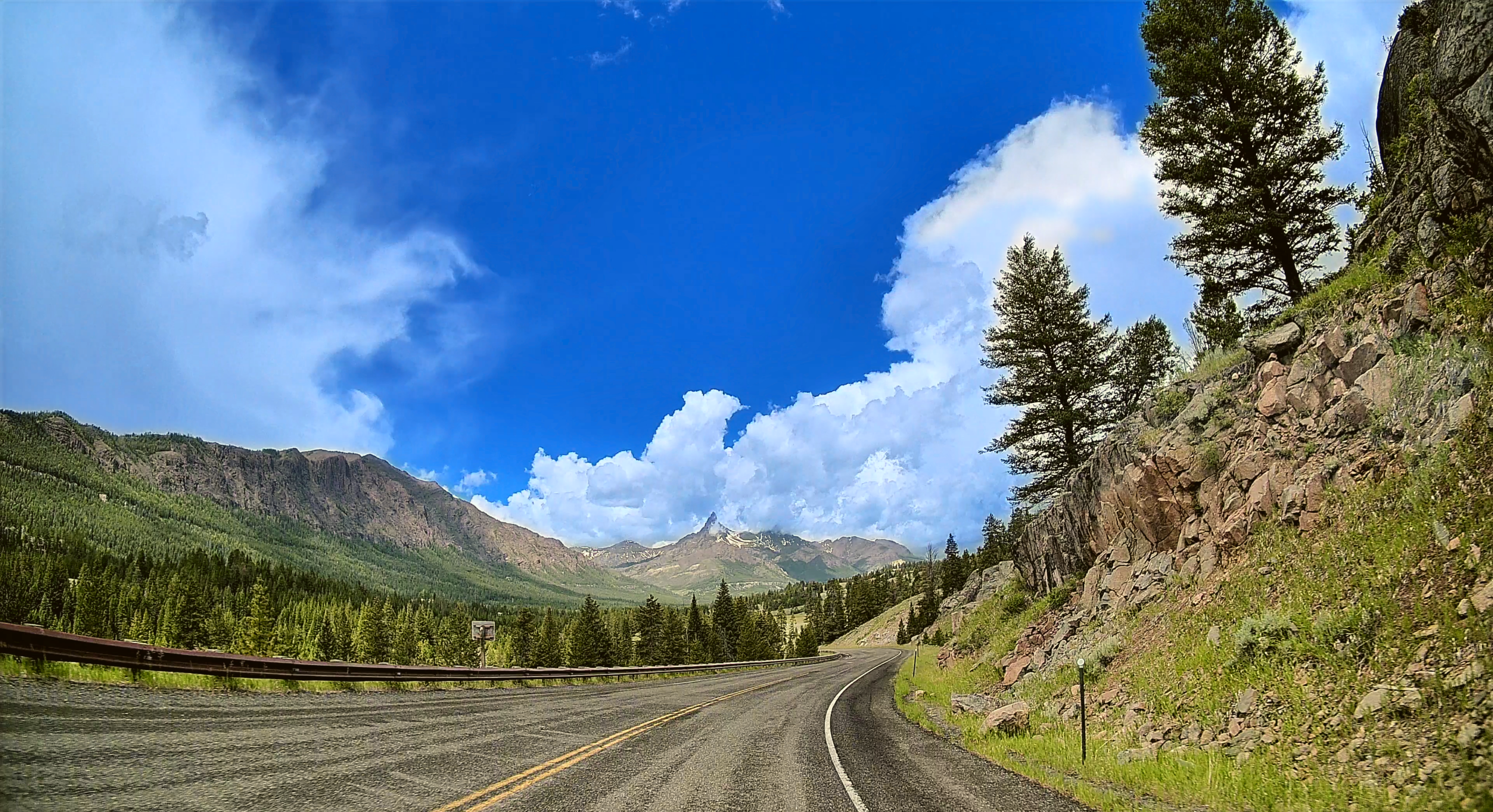
    The Beartooth Highway winds through towering peaks and vast alpine plateaus, offering one of the most breathtaking scenic drives in the country. As you ascend toward its summit, the air grows crisp and cool, often carrying a brisk, invigorating chill that contrasts sharply with the warmer, milder temperatures of the valleys below.

    Snow-capped ridges and alpine meadows stretch endlessly, while sudden shifts in weather—sunlight breaking through clouds or a gentle mist rolling over the mountains—create a serene, almost otherworldly atmosphere. Descending toward the lower elevations, the climate softens, and the landscape opens into lush forests and calm rivers, enveloping travelers in a deep sense of tranquility that makes every twist and turn along the highway a quiet invitation to pause and breathe in the majesty of nature.

    Captured in July 2024 along US 212, also known as the “Beartooth Highway”.


    Beartooth Highway (1:32:27)

    Original music for this video:

    Loading map…
    Distance
    66.65 mi
    Elevation gain
    +0 ft
    Elevation loss
    −0 ft
    Max elevation
    0 ft


    Photos (11:40)


    Rear-Facing (1:33:22)

    YouTube playlists:

    Original ambient music available for streaming at:

  • Bighorn Basin

    Bighorn Basin

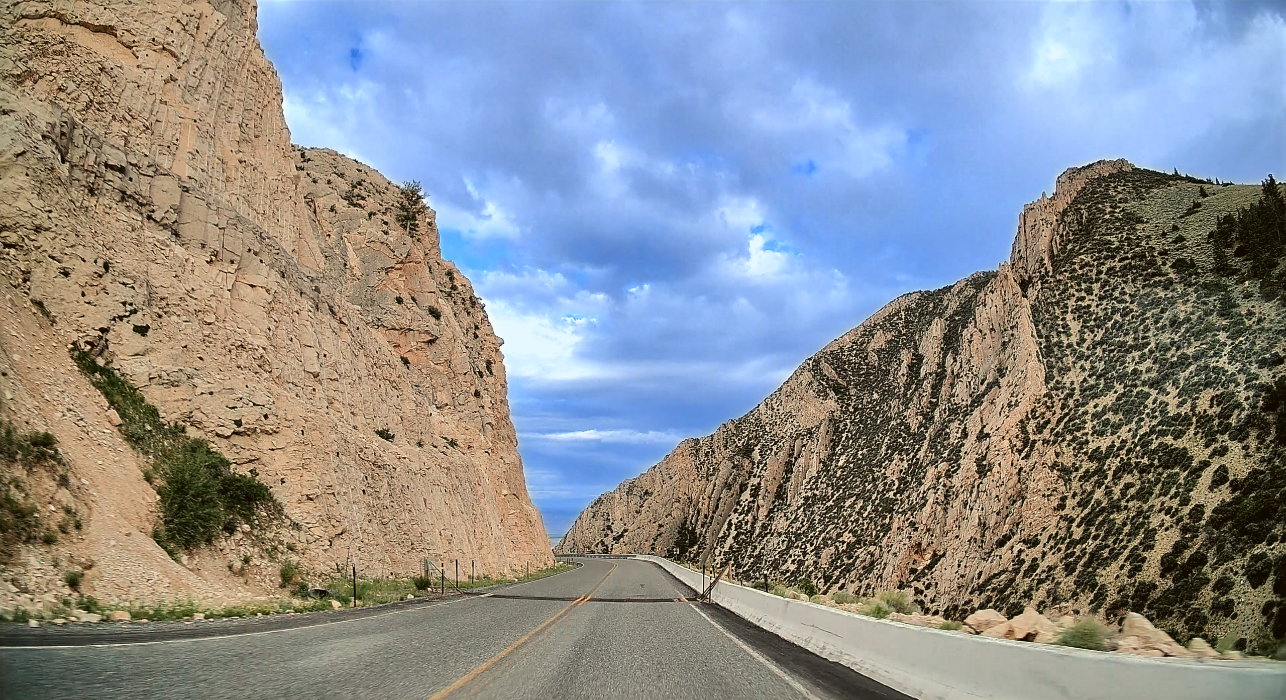
    A scenic drive through the Bighorn Basin is like taking a journey through Wyoming’s wild soul. Start by winding through the lush landscapes of Bighorn National Forest, where pine forests and alpine meadows meet the rugged terrain of the Bighorn Mountains. As you descend into the basin, the views unfold with sweeping vistas and dramatic rock formations. Follow the Bighorn River, where the path leads you past Devil’s Canyon, with its striking cliffs and deep ravines that showcase nature’s raw power. Along the way, you’ll encounter an ever-changing landscape of open plains, hidden canyons, and forested slopes — a perfect road trip for anyone craving adventure and awe-inspiring scenery.

    Captured in July 2024 en route between Sheridan, WY and Red Lodge, MT.

    Primary routes are US 14, US 14 Alt, and US 310.


    Bighorn Basin (3:42:35)

    Original music for this video:

    Loading map…
    Distance
    199.12 mi
    Elevation gain
    +0 ft
    Elevation loss
    −0 ft
    Max elevation
    0 ft


    Photos (9:16)


    Rear-Facing (3:38:05)

    YouTube playlists:

    Original ambient music available for streaming at: