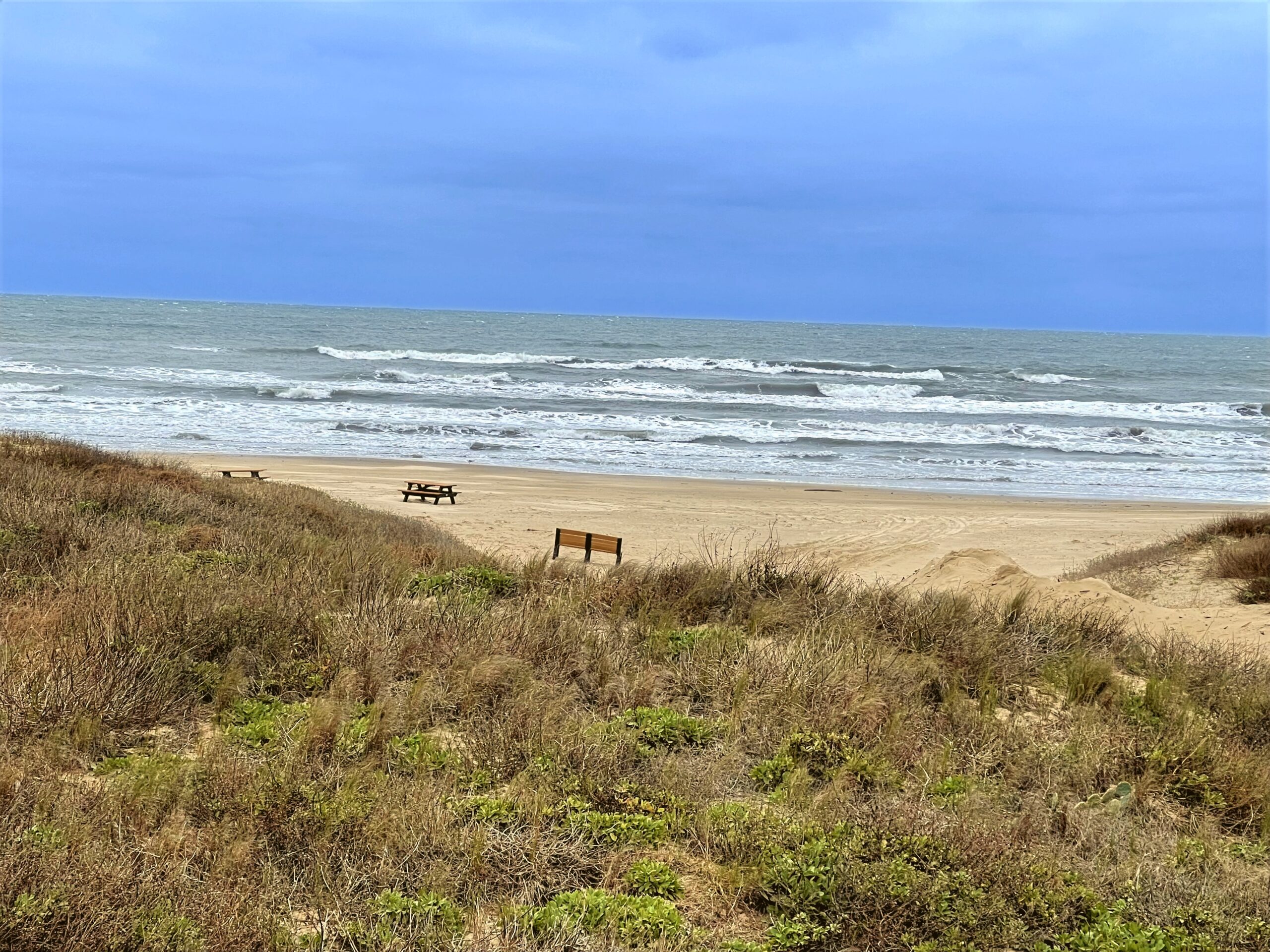
Beginning at High Island Beach, this drive follows Texas highways 124 and 87 through Crystal Beach and Galveston before turning toward the quieter coastal landscapes of Brazoria County and Matagorda. The journey continues through Port Aransas and Padre Island National Seashore, with long stretches of beach, dunes, and coastal wetlands along the route. Farther south, the road eventually reaches South Padre Island and the southern end of the Texas Gulf Coast.
The scenery changes gradually over hundreds of miles, from developed beachfront roads to broad, undeveloped coastal landscapes. With the Gulf beside the road for much of the journey, this is a relaxed look at the remarkable variety of Texas’s coastline.
Captured in February 2024.
Original music for this video:
- Distance
- 524.22 mi
- Elevation gain
- +5,007 ft
- Elevation loss
- −5,006 ft
- Max elevation
- 102 ft
YouTube playlists:
Original ambient music available for streaming at:
- ♫ SoundCloud
- ♫ Apple Music
- ♫ Spotify
- ♫ YouTube Music
- ♫ Amazon Music
- ♫ Tidal
- ♫ iHeart
- ♫ bandcamp
- ♫ and other major platforms