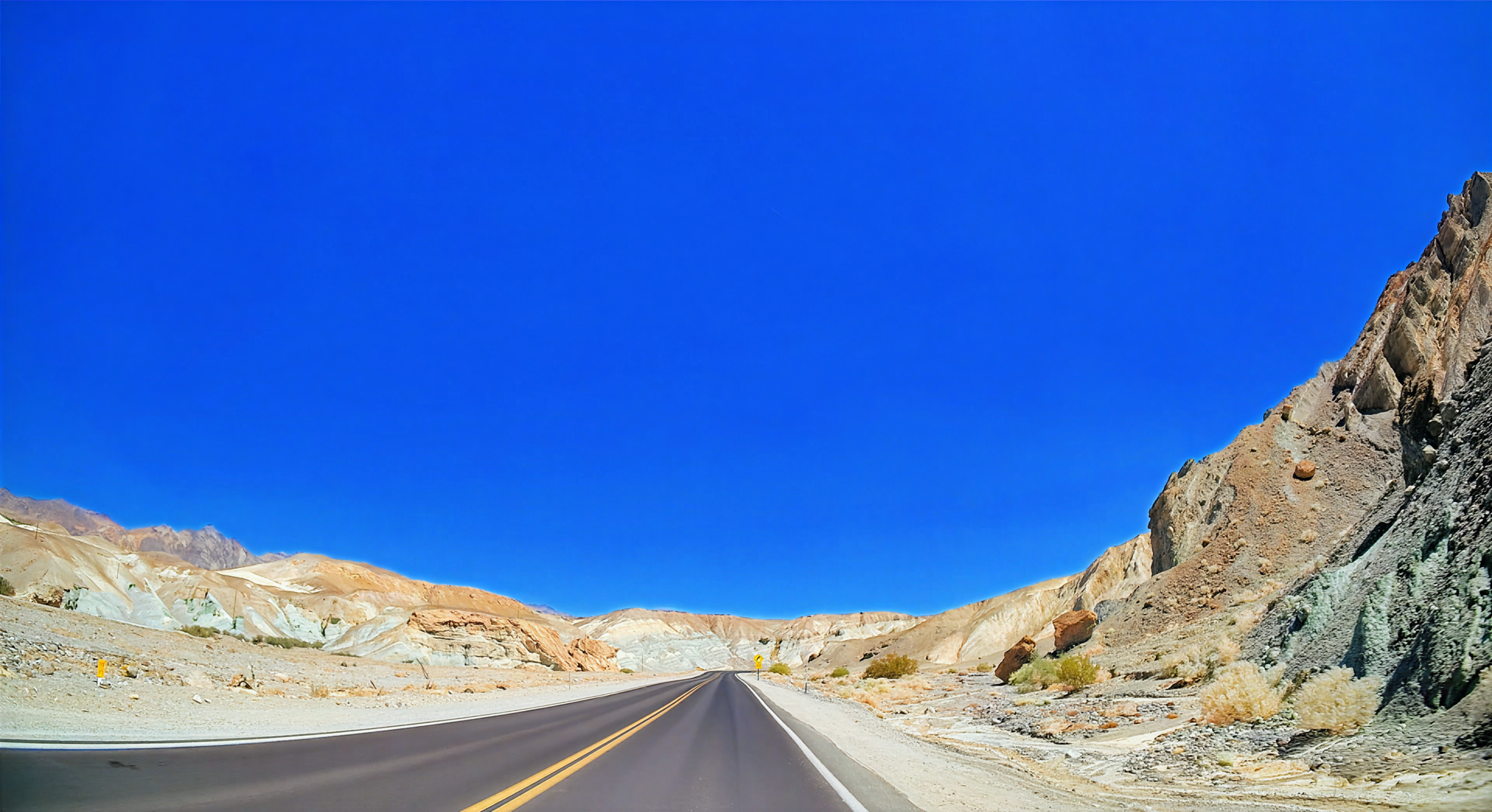
The road climbs out of Death Valley like a ribbon of heat shimmering over jagged desert ridges, leading through the Amargosa Range and toward Las Vegas via Highway 160. In summer, the mountains glow in shades of red, gold, and brown, their rocky faces etched with centuries of erosion, while the occasional flash of silver from a distant dry creek catches the sun. The desert flora is resilient and sparse—creosote bushes twist against the wind, clusters of cacti bloom bright against the dry earth, and Joshua trees stretch into the blue sky.
Sharp switchbacks reveal vast canyons below, with distant peaks fading into the shimmering heat waves. As the highway descends toward the Mojave lowlands, the terrain softens to rolling hills and open valleys, punctuated by abandoned mining camps and tiny desert settlements. The contrast between the raw, untamed mountains and the bright lights of Las Vegas emerging on the horizon is striking, and summer’s long days make every overlook, every ridge, and every wash along the road a chance to pause and absorb the desert’s scale and solitude.
Captured in August 2025. Primary roads are California SR 190, State Line Road to the Nevada border, and Nevada SR 160 from Pahrump.
Original music for this video:
- Distance
- 99.60 mi
- Elevation gain
- +6,438 ft
- Elevation loss
- −4,168 ft
- Max elevation
- 5,514 ft
YouTube playlists:
Original ambient music available for streaming at:
- ♫ SoundCloud
- ♫ Apple Music
- ♫ Spotify
- ♫ YouTube Music
- ♫ Amazon Music
- ♫ Tidal
- ♫ iHeart
- ♫ bandcamp
- ♫ and other major platforms